 Some hints
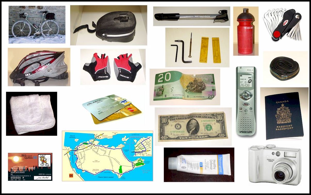
1. Check list (fits a small saddle bag, notwithstanding the helmet, the bottle and the bike...)
From bad to worse in Québec, from good to less good in Vermont, from good to excellent (with extra wide shoulders) in the Empire State. In Québec, one should avoid numbered roads, unless otherwise specified. In Vermont, there is no strict rule: roads 15, 100, 104, 105, 36 are best avoided, althoug 105 is ridable north of Jay Peak. In the State of New York, almost all roads are paved. Your best bets are the country roads, in contrast with the state roads. Whenever you encounter a dirt road, be adventurous! Fear no dog, ride it! Bike paths are not always your best bet. For instance the Saint Albans - Richford recreation trail, whose pavement is too soft for my taste, criss-crosses dangerous Route 105. Why not consider alternatives provided by the local road network? North American cartography is a continental shame! Nothing comes close to yearly updated Michelin maps. For Vermont, I trust the official state map, which is free but does not show the smaller roads. The "DeLorme Atlas and Gazetteer" shows level curves and looks great but (i) is not frequently updated (ii) bears no indication about road pavement (iii) is filled with road names that do not match those I read on signs. A much better choice is the reliable "Vermont Road Atlas & Guide" from Northern Cartographic, despite two drawbacks: no overlap between its small pages, and the absence of pavement indications. It extends some 10 kilometers North of the Border, which is useful to visitors from Québec. For the Emprie State, DeLorme is outdated (road numbers do not match) and of little use. |
